War Hill Park map |
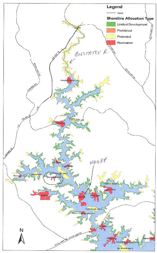
Upper Chestatee Basin of Lake lanier |
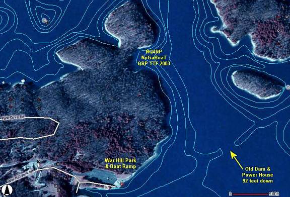 War Hill Park arial view with grade lines. |
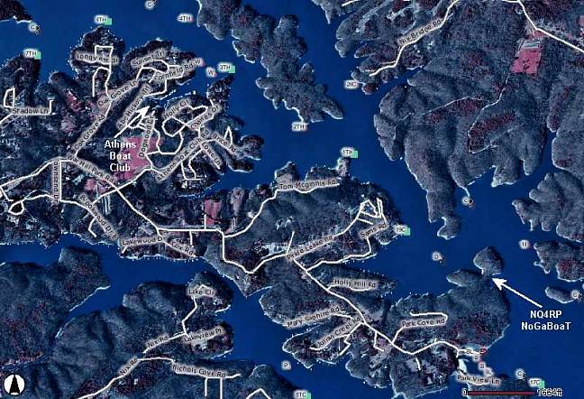 War Hill Park Road with Athens Boat Club shown. |
North Georgia QRP Club - NoGa
QRPTTF - 2003
Ghost Towns/Nobody Home
We operated on the surface of Lake Lanier almost on top of an inundated dam and power house. Lake Lanier is formed by the confluence of the Chestatee River on the North West and the Chattahoochee River on the North East. We were up in the Chestatee Basic in a little cover on the south side of the northern peninsula of War Hill Park.
The 4 pictures are the entire Chestatee Basin and you can see the Athens Boat Club where many of the NoGa events are held and a close up of the War Hill Park area.
(click on the small picture to get the BIG picture. Use your <back> button to return to this page.
War Hill Park map |
Upper Chestatee Basin of Lake lanier |
War Hill Park arial view with grade lines. |
War Hill Park Road with Athens Boat Club shown. |
This page last updated 05/01/2003